
Litratu:Attleboro, MA, train station.jpg
Size of this preview: 800 × 381 pixels. Other resolutions: 320 × 153 pixels | 640 × 305 pixels | 1,024 × 488 pixels | 1,280 × 610 pixels | 2,320 × 1,106 pixels.
Magåhet mineddong-ña (2,320 × 1,106 na pixel, mineddong atkibu: 2.51 MB, MIME klåsi: image/jpeg)
|
This is an image of a place or building that is listed on the National Register of Historic Places in the United States of America. Its reference number is 88003128. |
| Description |
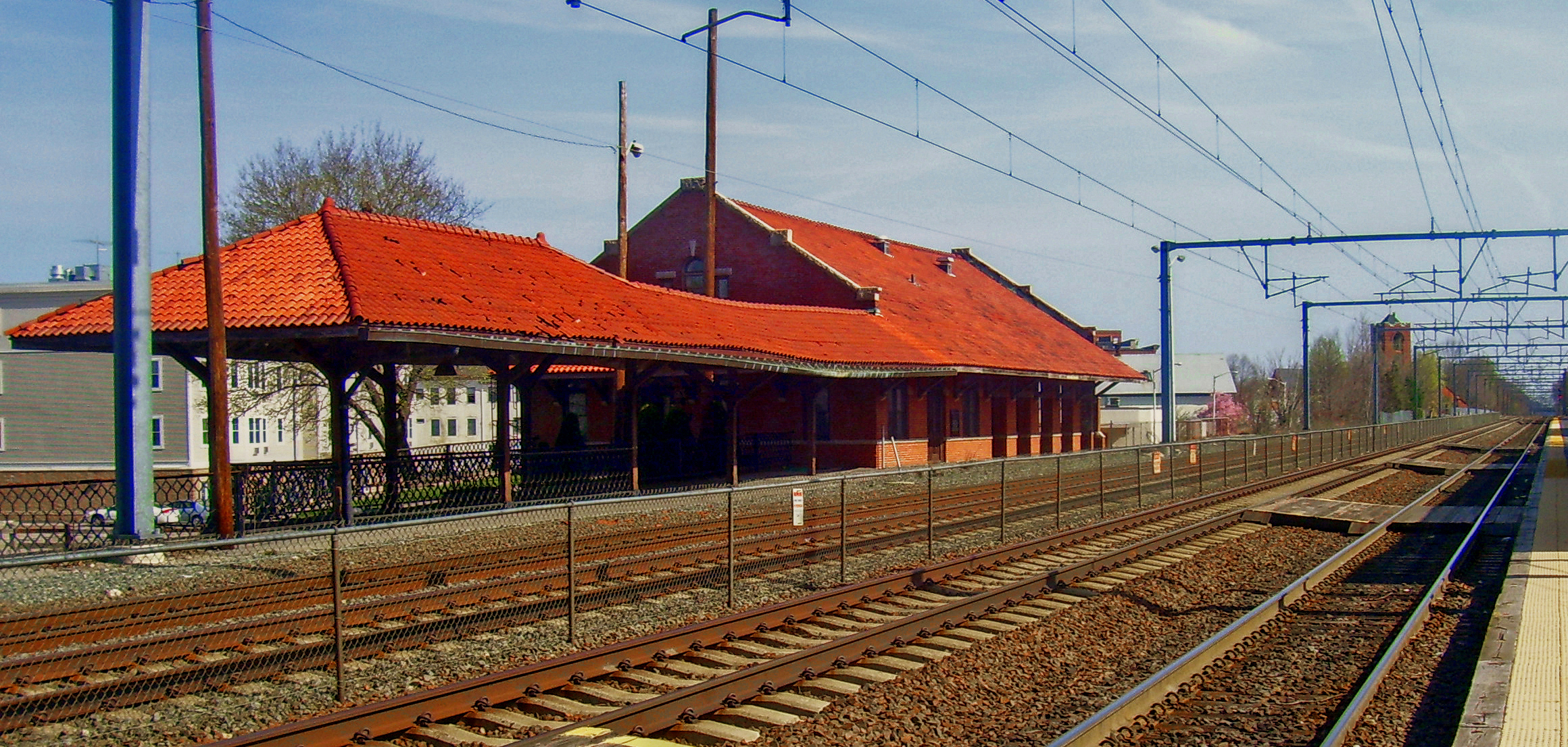
English: Attleboro, MA, USA train station. Looking north along the Providence/Stoughton Line towards Boston |
||||||||
| Date | |||||||||
| Source | Own work | ||||||||
| Author | Daniel Case | ||||||||
| Permission (Reusing this file) |
English Wikipedia user Daniel Case, the copyright holder of this work, hereby publishes it under the following license:
|

| Object location | | View this and other nearby images on: OpenStreetMap |
|---|
Historian atkibu
Yemme' i fecha/ora para un li'e' i atkibu annai annok guihi na momentu.
| Fecha/Ora | Thumbnail | Mineddong | Muna'sesetbi | Komentu | |
|---|---|---|---|---|---|
| pa'go | 02:01, 17 Måyu 2012 | | 2,320 × 1,106 (2.51 MB) | Pi.1415926535 | Make this less horribly washed out |
| 22:37, 3 Febreru 2012 |  | 2,320 × 1,106 (2.1 MB) | Pi.1415926535 | tweak color and contrast | |
| 04:42, 22 Hulio 2008 |  | 2,320 × 1,106 (2.23 MB) | Daniel Case | {{Information |Description={{en|1=Attleboro, MA, USA train station. Looking north along the Providence/Stoughton Line towards Boston}} |Source=Own work by upload |
Inachetton dokumento
Umachetton i sigiente na påhina yan este na atkibu:
Global file usage
The following other wikis use this file:
- Usage on ar.wikipedia.org
- Usage on arz.wikipedia.org
- Usage on azb.wikipedia.org
- Usage on ca.wikipedia.org
- Usage on ceb.wikipedia.org
- Usage on ce.wikipedia.org
- Usage on cy.wikipedia.org
- Usage on dag.wikipedia.org
- Usage on de.wikipedia.org
- Usage on en.wikipedia.org
- Usage on en.wikivoyage.org
- Usage on es.wikipedia.org
- Usage on eu.wikipedia.org
- Usage on fa.wikipedia.org
- Usage on fr.wikipedia.org
- Usage on hu.wikipedia.org
- Usage on id.wikipedia.org
- Usage on ja.wikipedia.org
- Usage on ky.wikipedia.org
- Usage on lld.wikipedia.org
- Usage on no.wikipedia.org
- Usage on pt.wikipedia.org
- Usage on pt.wikivoyage.org
- Usage on sr.wikipedia.org
- Usage on sv.wikipedia.org
- Usage on sw.wikipedia.org
- Usage on tr.wikipedia.org
- Usage on tt.wikipedia.org
- Usage on uk.wikipedia.org
- Usage on ur.wikipedia.org
- Usage on vo.wikipedia.org
- Usage on www.wikidata.org